
San Juan Neighbor Sources
Public sources describe a block in layers. The parcel map supplies shape, city-limit, zoning, and jurisdiction context. HCAD supplies a current assessed owner, a situs address, tax-mail address, account, and property characteristics. A deed can establish a recorded transfer date and legal description. Those records are about property interests, not a list of San Juan neighbors or current occupants. Community certificates and public meeting records add organizational context, but not a membership roster.
| Source | What It Shows About a Block | Access |
|---|---|---|
| San Juan GIS map | Parcel geography, city limits, zoning, and county-precinct context | Public interactive map |
| HCAD parcel | Assessed owner, tax mailing address, situs, account, and property details | Public owner, address, or account search |
| County deed index | Recorded parties, instrument date, legal description, liens, and plats | County Clerk index, office, or microfilm |
| Texas voter records | Individual registration and precinct information, subject to restrictions | Individual portal or lawful Elections request |
| HOA certificate database | Registered association or management contact, not member names | Texas certificate search and PDFs |
The key distinction is owner versus occupant. A tax mailing address may be outside San Juan, and a homestead exemption is only an owner-occupancy clue. A parcel result does not name every spouse, child, guest, or other non-owner household member. Similarly, the Texas voter tool is not a display of everyone on a street. Keep the block question tied to the public source that can actually answer it.
Start with the San Juan Planning and Zoning page, which links the city GIS resource illustrated below.
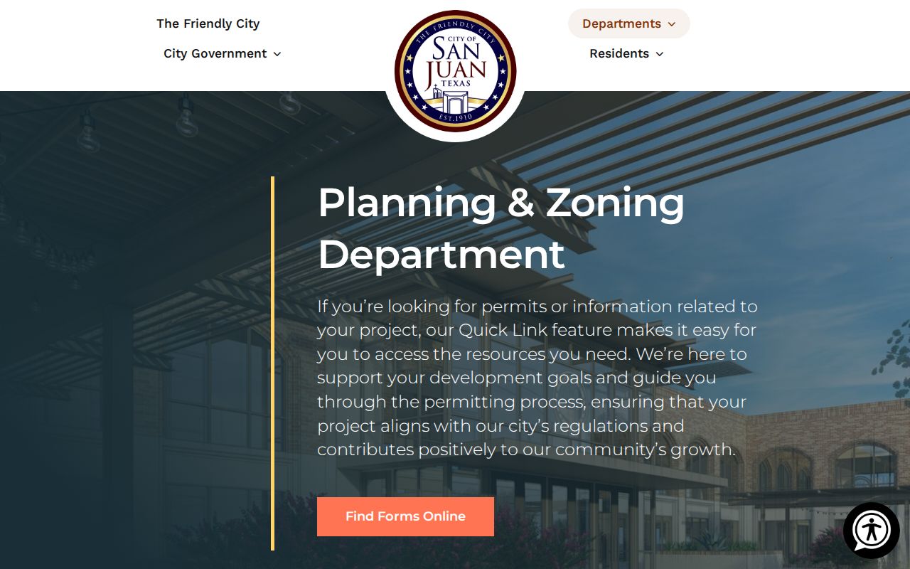
The city describes this map as a way to check zoning, city limits, property information, permit and utility jurisdiction, and county Precinct 1 or 2 context.
San Juan Neighbor Parcel Geography
San Juan's map layer gives the local geography that a tax result lacks. It can distinguish municipal city limits from areas in Hidalgo County Precinct 1 or 2, and it shows zoning and property context. That matters around the city's edges, where a postal label, a taxing jurisdiction, and city services may not line up. The exact GIS popup fields, layer list, and any dedicated buffer or adjacent-parcel control were not verified in the inspected material. Use the confirmed address search, parcel selection, and pan or click browsing rather than claiming a control the live map may not expose.
For title or a legal boundary, move from map orientation to the recorded plat, survey, or deed. A plat connects a subdivision, lot, and block to the street. A legal description is the land language used in recorded instruments. The HCAD situs address belongs to the appraisal layer, while the tax mailing address tells where notices are sent. These labels should never be treated as interchangeable.
Note: The city map can orient a San Juan block, but recorded plats, surveys, and deeds control legal property boundaries and title.
San Juan Neighbors and Voter Limits
Texas My Voter Portal is built for an individual registration check. It takes name, county, date of birth, and ZIP, and it can return a VUID. A public result may include status, precinct, districts, and election information subject to protections. It is not a block browsing tool, does not show ballot choices, and Texas does not have permanent party registration. Protected voters and Safe at Home participants can have restricted address information.
For records beyond an individual result, Hidalgo Elections has a Public Information Request Form with requester contact fields, a detailed-request field, and district categories. The form states that requests can involve hourly charges and may take up to ten business days. Texas Election Code Section 18.009 makes certain use of registration-list information to advertise or promote commercial products or services a Class A misdemeanor. Do not use that process to publish a block's names or addresses.
The Texas My Voter Portal is the official source displayed below.
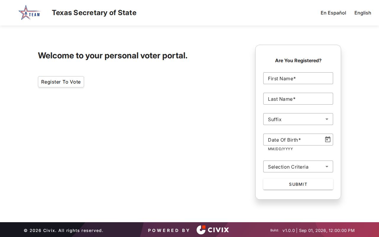
The form's individual fields underline why it should confirm a person’s own registration rather than create a list of nearby neighbors.
Map San Juan Neighbor Parcels
Work from one target parcel outward. First, find the street address in the city map and confirm whether it sits inside San Juan city limits or an outside county-precinct context. Select the parcel and note the street address, subdivision geometry, and any HCAD link or parcel detail exposed in the popup. Then compare the target with the parcels immediately next to it. The map provides order and location; the appraisal and deed records provide the separate ownership evidence.
- Locate the address in the San Juan GIS map, then record the parcel's jurisdiction, apparent lot shape, and any linked appraisal identifier.
- Click or pan to the immediately adjoining parcels. For each, keep the situs address and legal or account details separate from the owner name.
- Search HCAD by the address, owner, or account. Compare the mailing address and homestead information as clues, not proof that a person lives there now.
- When the question becomes title history, search the County Clerk's Official Records by party, instrument, subdivision, lot, or block. For the whole named street, use the dedicated street workflow.
This produces a restrained flow: address to mapped parcel, parcel to appraisal record, record to legal description, then legal description to the recorded instrument. A nearby parcel is not necessarily a nearby household, and a physical map edge does not establish current occupancy. For a longer street-by-street record chain, the San Juan Street Directory follows the address angle without turning a one-block question into a broad resident list.
San Juan Neighbor Association Records
The Texas HOA management-certificate database is a narrow community layer. Its filters include association name, county, city, ZIP, and POA or COA type, and the results link certificate PDFs. A certificate can identify a registered association or management contact. It does not identify members, residents, or every home within an area. Use it to locate the organization tied to a recorded San Juan community question, then respect any private membership boundaries.
Search the Texas HOA management-certificate database for the San Juan and 78589 records captured below.
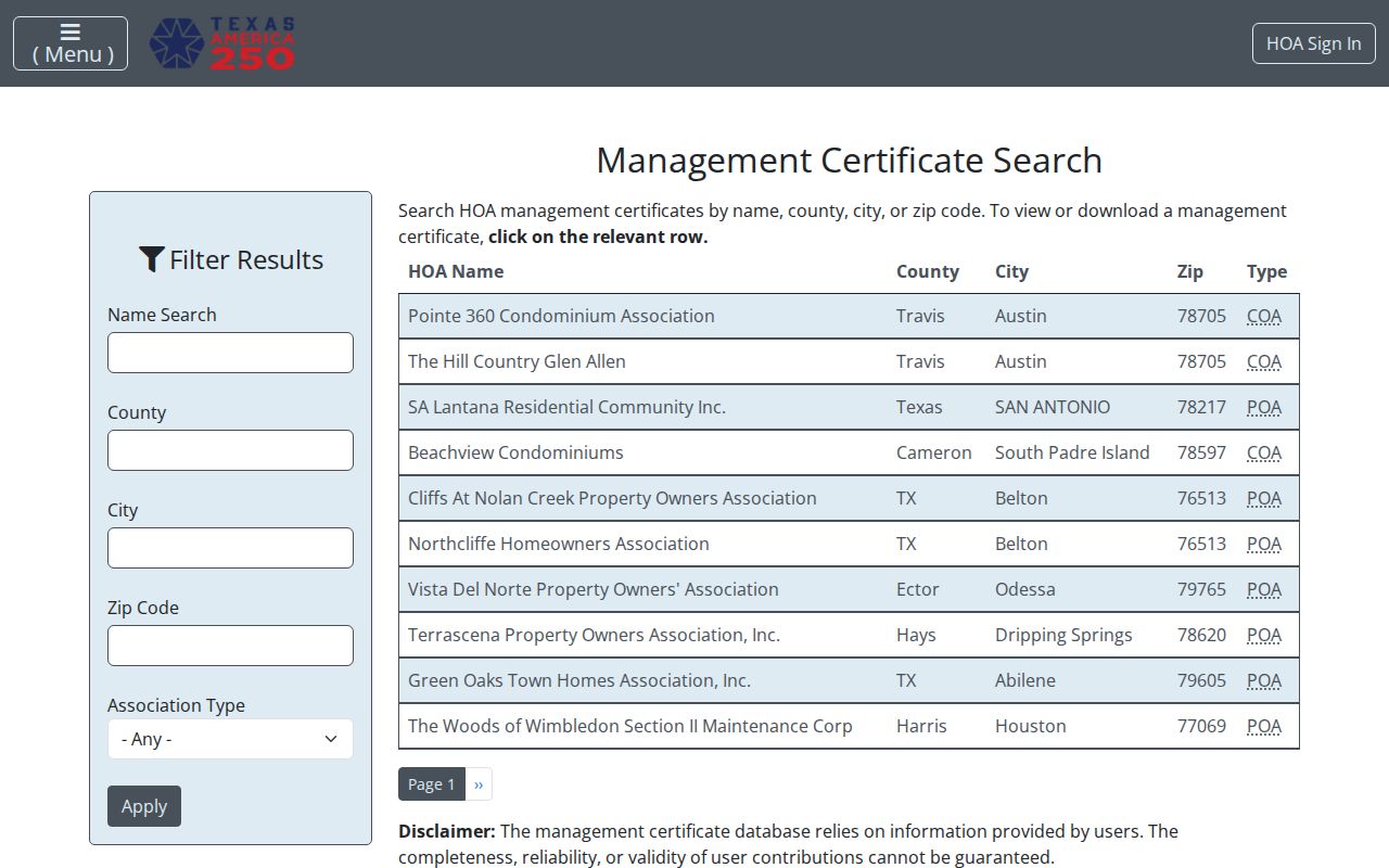
The results may help identify a community contact, but the database warns that user-provided information is not guaranteed complete or reliable.
| San Juan certificate result | What it can support | What it cannot support |
|---|---|---|
| VIP East Homeowners Association | Association or management contact lead | Member list or occupant list |
| Pedro Pedraza | Certificate search result to examine in its PDF | Identity of every person on a block |
| THE GROVE Property Owners Association | Registered organizational clue | Current residence at a specific parcel |
| Stewart Place Estates No. 2 Homeowners Association | Association-level filing lead | Private contact or membership data |
Read each certificate as an association-level filing. If the filing is incomplete, outdated, or disputed, use the certificate source and the association's stated contact route rather than inferring private membership information.
San Juan Neighbors in Civic Records
Public participation records offer another narrow view of a neighborhood without creating a private directory. San Juan has public boards for Planning and Zoning, the Library Advisory Board, Parks and Recreation, the Police Athletic League, Keep San Juan Beautiful, and the Economic Development Corporation. Meeting agendas and minutes can identify civic participants and, when a public document includes it, an address. They do not establish where anyone currently lives.
For earlier neighborhood context, use the San Juan Memorial Library for catalog, public-computer, interlibrary-loan, newspaper, yearbook, obituary, and older-phone-book leads. The public pages do not publish a confirmed local directory-year list or a resident index. Ask the reference desk for a collection-level lead, then confirm any historical address with the dated source and a deed, map, or census record where appropriate.
San Juan's historical geography is also layered. The Texas historical guide identifies Sanborn map coverage for San Juan from 1925 through 1938, and the Texas State Library catalog lists San Juan map records for 1961, 1972, 1983, 1988, and 1992. Those maps can help show a street, building footprint, subdivision, or changing neighborhood context. They do not provide a household name. Pair a map date with a recorded deed, a dated directory entry if one is located, or a census record instead of assuming continuity from the map alone.
Open the San Juan Memorial Library page shown here when local history is the question.
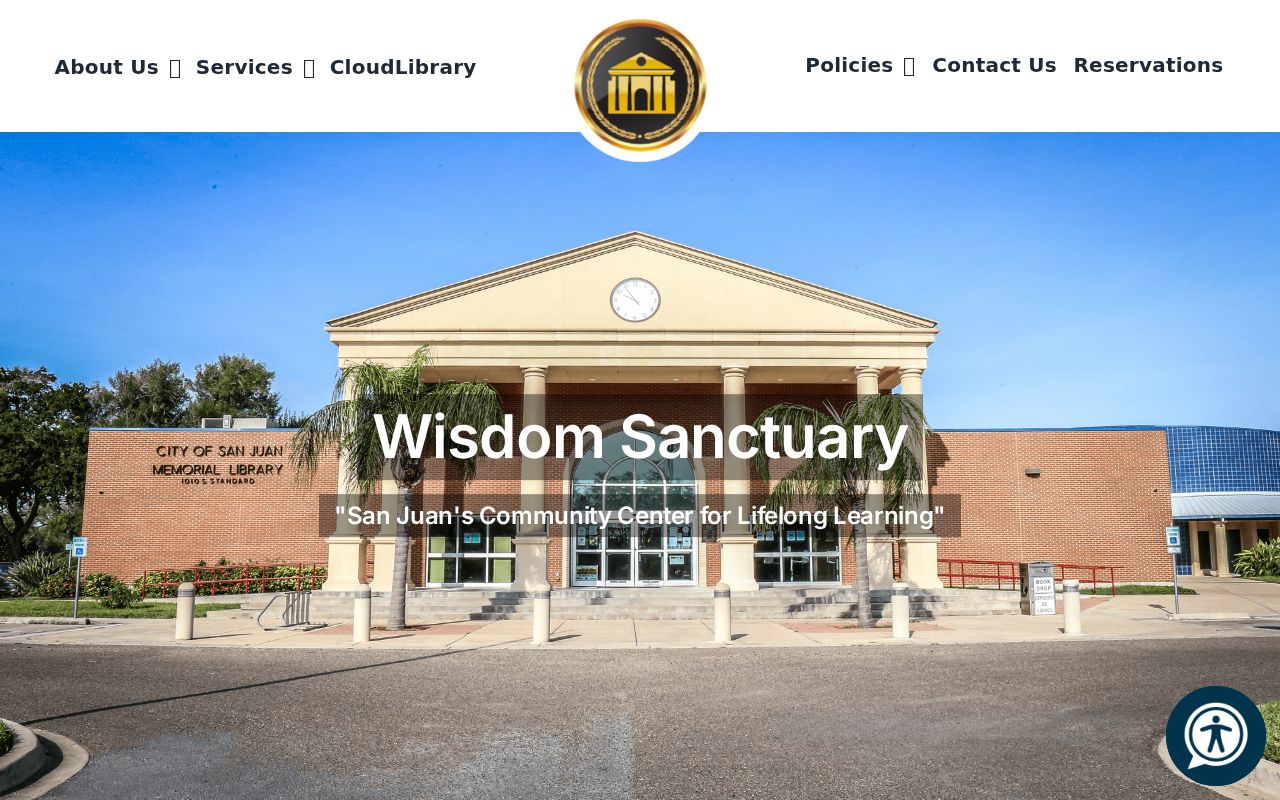
The library is a reference bridge for older neighborhood material, not evidence that a named person currently occupies an address.
San Juan Neighbor Source Comparison
Official parcel, clerk, elections, and association records each name their source and access rules. Commercial neighbor-finder products are a separate category that can combine public extracts, purchased marketing data, self-reported information, and automated matches. Those products can be stale, combine people with similar names, omit protected residents, and cannot correct an appraisal, deed, voter, court, or vital record. When a source matters, verify it with the custodian.
| Official record route | Commercial neighbor tools |
|---|---|
| Identifies a custodian, record type, and legal access path | May combine sources with varying dates and matching methods |
| Correction begins with HCAD, Clerk, Elections, or another holder | Cannot amend the source record |
| May omit protected, sealed, or restricted information by law | May still be inaccurate or stale |
If a result carries a deed, account, VUID, or case number, keep that identifier and return to the named office. The custodian, not a compiled result, is the place to confirm a public record or seek correction.
San Juan Neighbor Privacy Limits
Much of a block remains private. Property records do not serve as an occupant roll, and they generally do not identify non-owner household members. Utility customer data is not a public resident source. Texas Safe at Home can provide a substitute address to eligible participants, protected voter procedures can restrict address information, and sealed court or restricted vital records are not gaps to solve by matching other traces. The federal Driver's Privacy Protection Act also limits motor-vehicle personal information.
Texas Penal Code Sections 42.072 and 42.07 address stalking and harassment. Use public material for a personal and lawful purpose, such as family history, neighborhood curiosity, civic transparency, or checking a property record. If a record is inaccurate, contact the custodian rather than republishing it. Preserve evidence and contact local law enforcement for an immediate threat.
Lawful use. San Juan neighbor research may support personal, civic, or family-history questions. Never use an address, record, or map to monitor, threaten, harass, or harm another person.